
Mapping
The primary market for deployment for our drones comes from its ability to map large area’s quickly and accurately in 3 dimensions. Using state of the art technology with an age old principle known as photogrammetry highly accurate digital photo based maps are created by collecting hundreds, often thousands, of images of your site with our drone. Combining these photos with sensor data is the start of the mapping process.
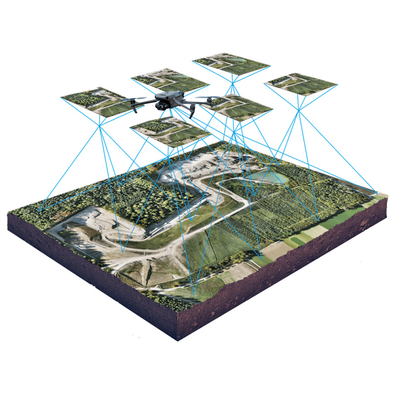
This complex process produces photo based maps that are known as Orthomosaics.
These maps allow accurate measurements to be taken in 2 Dimensions. Further processing with our powerful in-house software generates detailed the 3D Model component known as an Elevation Model, often referred to as virtual twins due to resemblance to the real world. Accurate elevations are produced throughout the entire survey area. Combined the possibilities between the Ortho & Elevation Model are endless.
In complex overgrown environments we use Lidar Technology to penetrate vegetation to create bare earth models.
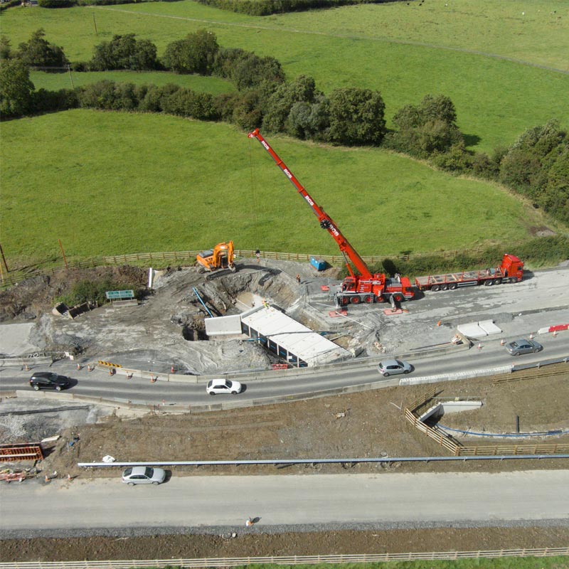
During our surveys, we frequently capture oblique photos to provide a unique and comprehensive perspective of your project.
These angled images offer a broader view than traditional overhead shots, highlighting the details and scale of the site from various angles. This can be done as a one-time capture to showcase the current state of the project or at regular intervals to monitor and document progress over time. By utilizing oblique photography, stakeholders gain a richer visual understanding of the project, enhancing project presentations, progress reports, and decision-making processes.
Ready to
get started?
Simply book a 1 to 1 Consultation to discuss your requirements and receive a no strings attached quotation.
 Splash