
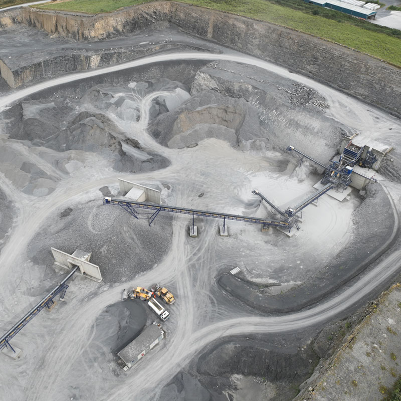
At ASM Geospatial, we provide innovative drone mapping solutions tailored to the specific needs of quarries and mines.
Our high-resolution aerial imagery and advanced data capture techniques deliver precise 2D maps, 3D models, and volumetric calculations to optimise extraction, stockpile management, and site planning. With our expertise, you gain the detailed insights needed to improve efficiency, minimise waste, and enhance operational decision-making.
Our drone surveys save time, reduce costs, and eliminate the risks associated with traditional ground-based methods, ensuring the safety of your team while maintaining accuracy. From monitoring site progress to calculating reserves and ensuring compliance, ASM Geospatial is your trusted partner for reliable, cost-effective geospatial solutions in the quarrying and mining industries.
Ready to
get started?
Simply book a 1 to 1 Consultation to discuss your requirements and receive a no strings attached quotation.
 Splash