
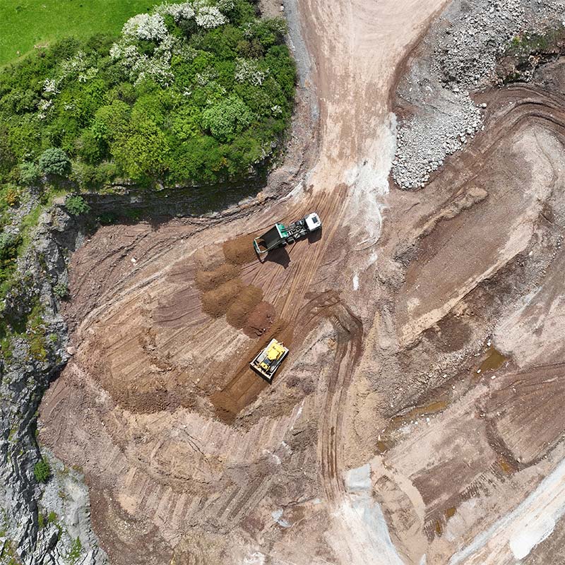
ASM Geospatial supports landfill operations with advanced drone mapping technology, providing precise data to enhance planning, monitoring, and compliance.
Our aerial surveys generate accurate 2D maps, 3D models, and volumetric analyses, enabling you to effectively track waste levels, design landfill expansions, and optimise daily operations. With our detailed insights, you can manage resources more efficiently while maintaining environmental responsibility.
By utilising drones equipped with state-of-the-art sensors, we offer a safer, faster, and more cost-effective alternative to traditional surveying methods. From monitoring settlement and drainage systems to ensuring regulatory adherence, ASM Geospatial delivers the actionable data you need to manage landfill sites efficiently and sustainably.
Ready to
get started?
Simply book a 1 to 1 Consultation to discuss your requirements and receive a no strings attached quotation.
 Splash