
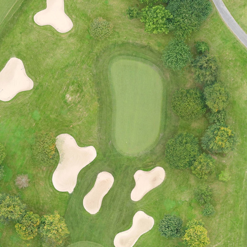
ASM Geospatial provides advanced drone mapping solutions tailored to the needs of golf course design, management, and maintenance.
Our high-resolution aerial imagery and topographic data enable precise planning for new course layouts, renovations, and landscaping improvements. With detailed 2D maps and 3D models, we help optimise fairway alignment, green contours, and drainage systems, ensuring a superior playing experience.
Our drone surveys offer a fast, efficient, and non-invasive method to assess course conditions, monitor wear and tear, and plan enhancements. Whether you’re creating a new course or maintaining an existing one, ASM Geospatial delivers the accurate insights you need to achieve a beautifully designed and expertly managed golf course.
Ready to
get started?
Simply book a 1 to 1 Consultation to discuss your requirements and receive a no strings attached quotation.
 Splash