
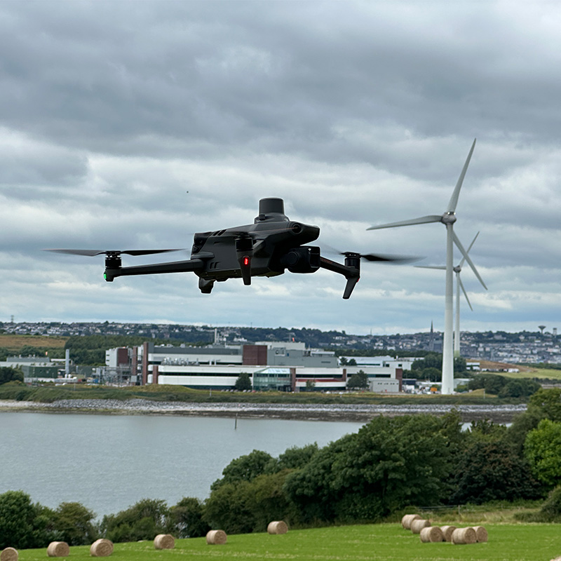
At ASM Geospatial, we specialise in delivering cutting-edge drone mapping solutions tailored to the unique requirements of wind farm projects.
From site selection and terrain analysis to construction monitoring and ongoing maintenance, our high-resolution aerial imagery and advanced data capture ensure precise planning and execution. With accurate 2D maps, 3D models, and topographic data, we help optimise turbine placement, streamline workflows, and reduce project timelines.
Our drone technology offers a safe, efficient, and cost-effective way to survey vast and often remote areas, eliminating the challenges of traditional ground-based methods. Whether you’re planning a new wind farm, managing infrastructure, or inspecting turbine components, ASM Geospatial provides the data-driven insights needed to maximise efficiency and ensure the long-term success of your renewable energy initiatives.
Ready to
get started?
Simply book a 1 to 1 Consultation to discuss your requirements and receive a no strings attached quotation.
 Splash