
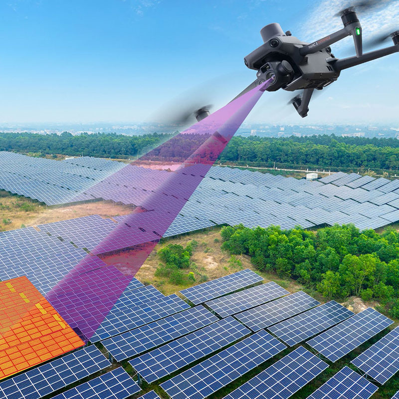
ASM Geospatial delivers precise drone mapping services to support the development and operation of solar farms.
From site evaluation and design to construction monitoring and performance assessment, our high-resolution aerial imagery and detailed data capture ensure every phase of your project is optimised. With accurate 2D maps, 3D models, and terrain analysis, we help identify ideal panel placements, streamline construction workflows, and maximise energy efficiency.
Using state-of-the-art drones and advanced sensors, we provide a cost-effective and safe alternative to traditional survey methods, especially for large or remote sites. Whether you’re planning a new solar farm or managing existing infrastructure, ASM Geospatial equips you with actionable insights to enhance performance, reduce costs, and ensure the sustainability of your renewable energy projects.
Ready to
get started?
Simply book a 1 to 1 Consultation to discuss your requirements and receive a no strings attached quotation.
 Splash