
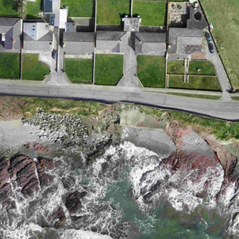
ASM Geospatial offers advanced drone mapping solutions for environmental monitoring, providing precise data to support sustainable management and conservation efforts.
Our high-resolution imagery, 2D maps, and 3D models enable accurate analysis of land use, vegetation health, water resources, and ecological changes over time. Whether you’re monitoring habitats, assessing erosion, or evaluating environmental impacts, our services provide actionable insights to inform your strategies.
With our state-of-the-art drone technology, we deliver efficient, safe, and cost-effective data collection, even in challenging or remote areas. By leveraging detailed geospatial data, ASM Geospatial empowers organisations to make informed decisions, ensuring compliance with environmental regulations and promoting the responsible stewardship of natural resources.
Ready to
get started?
Simply book a 1 to 1 Consultation to discuss your requirements and receive a no strings attached quotation.
 Splash