
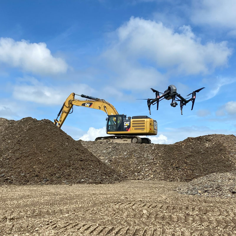
At ASM Geospatial, we tackle the challenges of civil engineering projects with advanced drone mapping solutions.
From topographic surveys and site monitoring to volumetric analysis, we deliver precise 2D maps, 3D models, and accurate point clouds. Our tailored services provide reliable data to support planning, design, and construction, ensuring informed decisions and efficient project execution.
Using state-of-the-art drones and sensors, we help optimise workflows, enhance safety, and save costs compared to traditional methods. Our aerial surveys deliver fast, accurate results while adhering to industry standards. Whether designing roads, bridges, or large-scale developments, ASM Geospatial is your partner for precision and efficiency in civil engineering.
Ready to
get started?
Simply book a 1 to 1 Consultation to discuss your requirements and receive a no strings attached quotation.
 Splash