
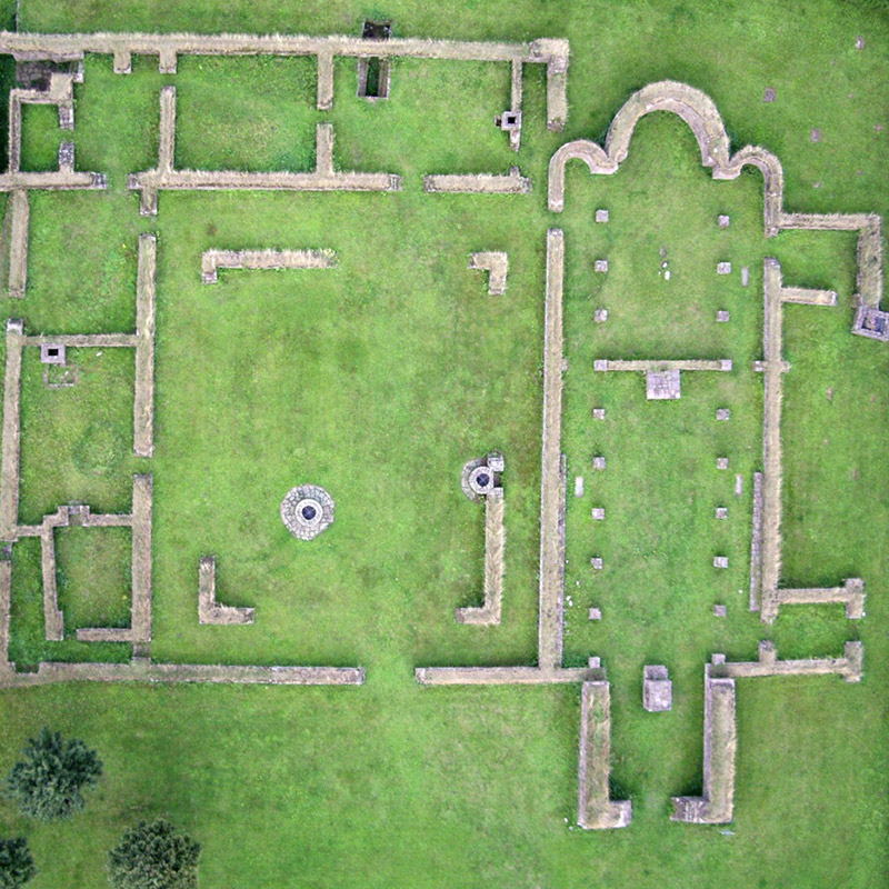
ASM Geospatial uses advanced drone mapping to non-invasively document and analyse historical sites for archaeological projects.
Our high-resolution aerial imagery and 3D models offer archaeologists precise data to map excavation areas, study terrain, and uncover hidden features without disturbing the site. By delivering accurate and detailed geospatial data, we help preserve invaluable historical information for future generations.
Using cutting-edge drones equipped with advanced sensors, we can capture intricate details of archaeological sites, from ancient ruins to large excavation zones. Our solutions save time, reduce costs, and provide a comprehensive understanding of the site’s layout and features. With ASM Geospatial, you gain the tools to uncover history with precision, efficiency, and respect for cultural heritage.
Ready to
get started?
Simply book a 1 to 1 Consultation to discuss your requirements and receive a no strings attached quotation.
 Splash